
Groundwater Assessment and Bore Siting
Selecting a suitable location is an important part of planning a water bore. In hard-rock areas, groundwater is commonly associated with fractures, weathered zones and other geological features that can vary significantly between neighbouring properties.
Before drilling, we review the information available for the property and surrounding area. This may include nearby bore records, geological information, topography, reported drilling depths and our own experience working in the region.
We also consider practical site factors such as access for the drilling equipment, overhead and underground services, buildings, septic systems, drainage, fences and the intended use of the bore.
Where requested, traditional water divining may also form part of the on-site assessment. However, neither divining nor geological information can confirm that groundwater will be found or accurately predict its depth, flow rate or quality before drilling.
Our Approach To
Groundwater Assessment
We use several sources of information rather than relying on one bore siting method.
Historical bore records and local drilling experience can provide useful indications of the conditions encountered nearby. An on-site assessment then helps determine whether a proposed location is accessible, safe and practical for drilling.
The purpose of this process is to make a more informed site-selection decision and establish realistic expectations before the rig is mobilised. It does not remove the geological uncertainty involved in drilling a water bore.


How We Work
Review of Available Information
We review available records and information relating to the property and surrounding area.
Depending on what is available, this may include nearby bore depths, reported groundwater inflows, geological mapping, elevation, surrounding landforms and our previous drilling experience in the area.
Records from nearby properties can provide useful context, but conditions may still differ within a relatively short distance.
On-Site Property Assessment
We inspect the property to assess possible drilling locations and equipment access.
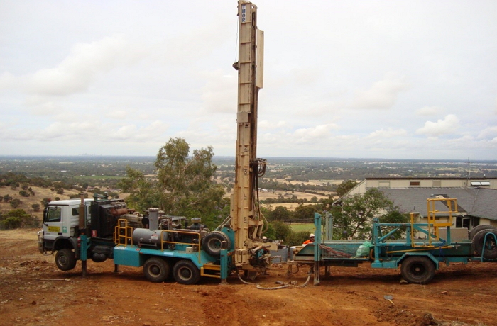
This includes considering gates, tracks, slopes, vegetation, buildings, fences, overhead powerlines, underground services, septic systems and the operating space required for the rig and support vehicles.
Where requested, an experienced water diviner may also assess potential locations on the property.
Comparison of Site Options
We compare the available groundwater and geological information with the practical conditions observed on site.
This helps us identify one or more locations that may be suitable for drilling. Site selection also considers appropriate setbacks and the ability to position and operate the equipment safely.
No location can be verified as water-bearing until it has been drilled.
Recommended Drilling Location
We discuss the preferred location with the property owner and explain the reasons for the recommendation.
We can also provide guidance on the depths and conditions previously encountered in the broader area. These are estimates only and should not be interpreted as a prediction or guarantee of the final bore depth, flow rate or water quality.
Once a suitable location has been agreed upon, we confirm the drilling arrangements and applicable pricing.
Groundwater Assessment and Bore Siting
Essential Questions Answered